When your feedstock arrives as chips and sawdust.
A mill running residues from dozens of suppliers can't hand a regulator one plot's coordinates — the wood is commingled and the chain is many-to-many. LandTrace builds the plot set from every harvest unit cut in each supplying mill's wood basket during your delivery window, clears each one by documented rule, and has your mills confirm the short list — so you declare the harvest base that could have fed the stream, with evidence for every plot.
Residue streams break the usual approach.
Sawdust, chips, and shavings are in scope (Annex I), but the obligation still reaches back to the harvest — and the standard "geolocate the plot" workflow simply doesn't apply.
You can't trace every particle
Residues are pooled across thousands of logs from many plots. Asking each mill for boundaries rarely works — they often can't trace it either.
Mass balance is prohibited
EUDR requires segregation, not paper averaging. You need to account for the actual harvest base feeding the stream.
Flagging buries you
Generic tools read every clearcut as loss, so a basket of legitimate rotational harvest floods you with hundreds of false positives.
Every cut unit in the basket, cleared by rule.
Residue can't be traced to one plot, so the plot set is every harvest unit that could have supplied it: cut inside a supplying mill's basket during the delivery window. Public harvest records say which units were permitted; satellite openings say which were actually cut. Only a cut unit can have supplied wood.
Map each mill's wood basket
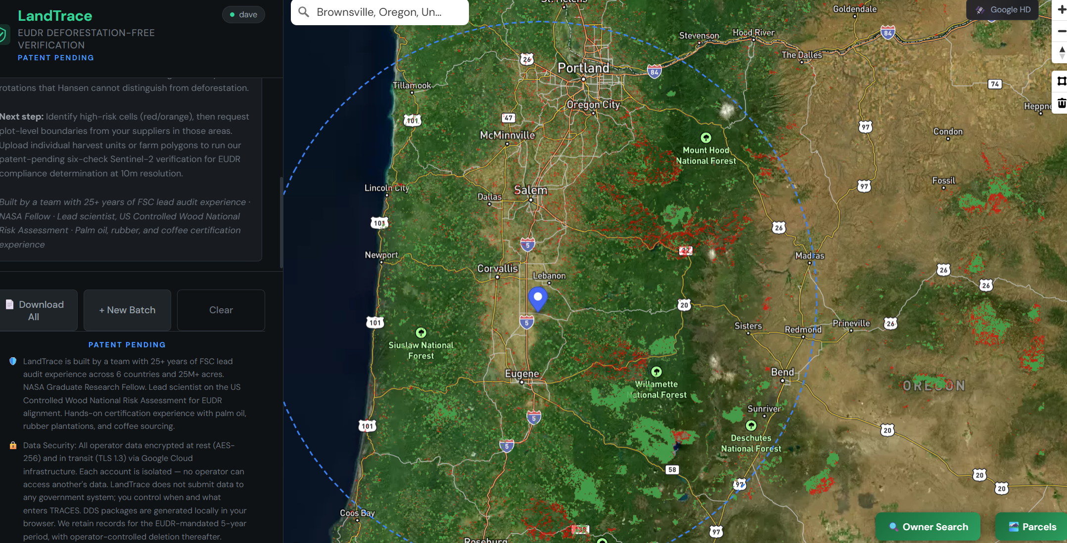
Each supplying mill is a point with a sourcing radius agreed with you. The plant's footprint is the union of its mills' baskets — run once, sliced per mill.
per-mill basketsBuild the plot set
Every harvest record in the basket is crossed with a satellite openings sweep. Cut units enter the set, units notified but not cut drop out, and openings with no record are flagged.
harvest recordsoptical + radarClear by rule
Each plot is tested in order: forest at the 2020 cutoff, harvest recorded or reading as harvest, no conversion to agriculture, not primary forest, not protected land. Plots that pass clear by rule, logged with the rule that decided them.
rules R1–R8Forester review and sample
A qualified forester decides every exception on documents and re-checks a stratified random sample of rule-cleared plots. Burned ground is accepted only as salvage under a record or with a mill document.
forester-signedstratified sampleMills confirm the short list
Each mill gets only what couldn't be cleared inside its basket, and answers each item in writing: ours, with the record or landowner, or not our wood. Cleared units are never sent to the mill.
signed by the millDeclare and monitor
The plot list as an EU Information System GeoJSON, the evidence package and the attestation wording — then a yearly re-check of every declared plot for three years after harvest.
TRACES-readyyearly re-checkBuilt for many-to-many supply.
Managed harvest clears
A permitted harvest with continued forest use clears by rule, so a basket of rotational harvest doesn't drown you in false positives.
No plot-level tracing needed
The set comes from records and imagery, not supplier paperwork, so it doesn't stall when a mill can't trace commingled residue to a plot. The sweep still covers the full basket, so narrowing can't hide an unrecorded harvest.
Mills answer a short list, not the plot set
Suppliers see a handful of items in their own basket, not thousands of plots — the request they can actually answer.
Defensible by design
A published, versioned procedure, a forester on every exception and a sample on the rest — built to withstand a substantiated-concern challenge.
Verify your residual sourcing.
Tell us your supplying mills and delivery window, and we'll scope the baskets — or run a mill's basket yourself in the app.